Log in
All resources
Create a design
33,741 Free Images of 1732 Maps
maps in the library of congress
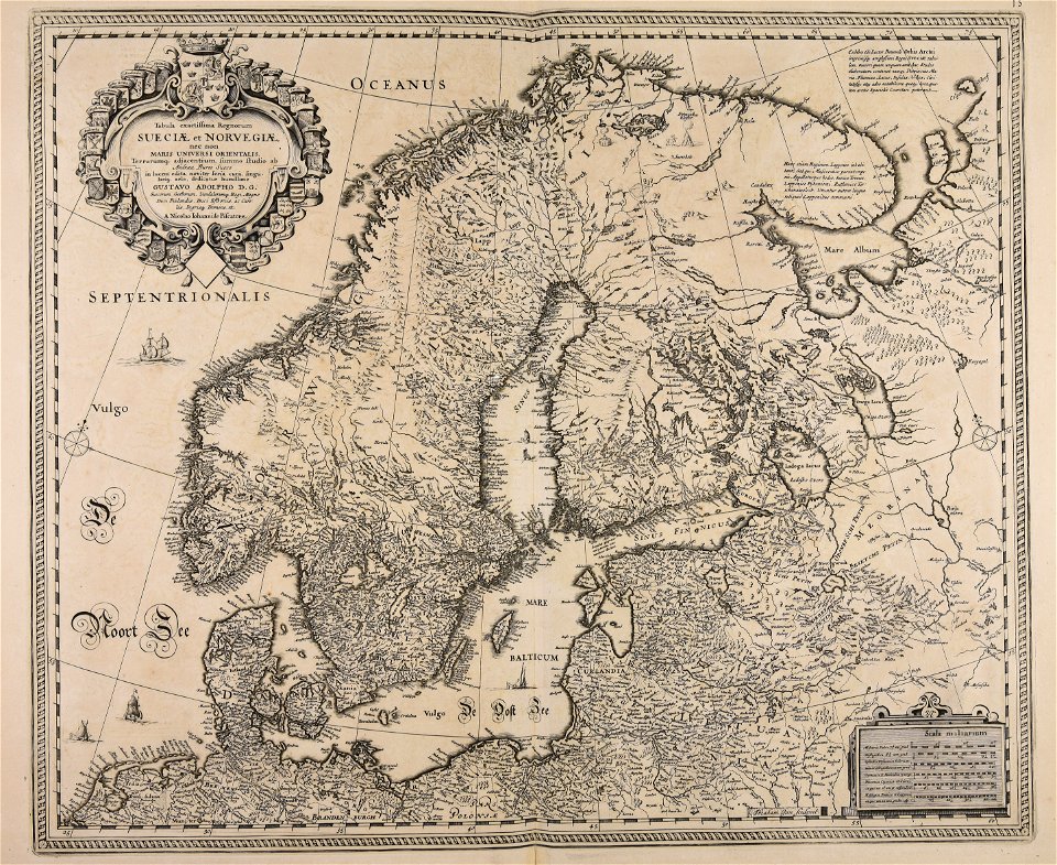
maps with cartouches
latin-language maps
town maps by l. r. burleigh
massachusetts
atlas van der hagen
o. h. bailey
pictorial maps
old manuscript maps
spanish-language maps
maps of the canton of solothurn
old maps of switzerland
16th-century maps of baden-württemberg
chorographia württemberg
maps in the library of congress
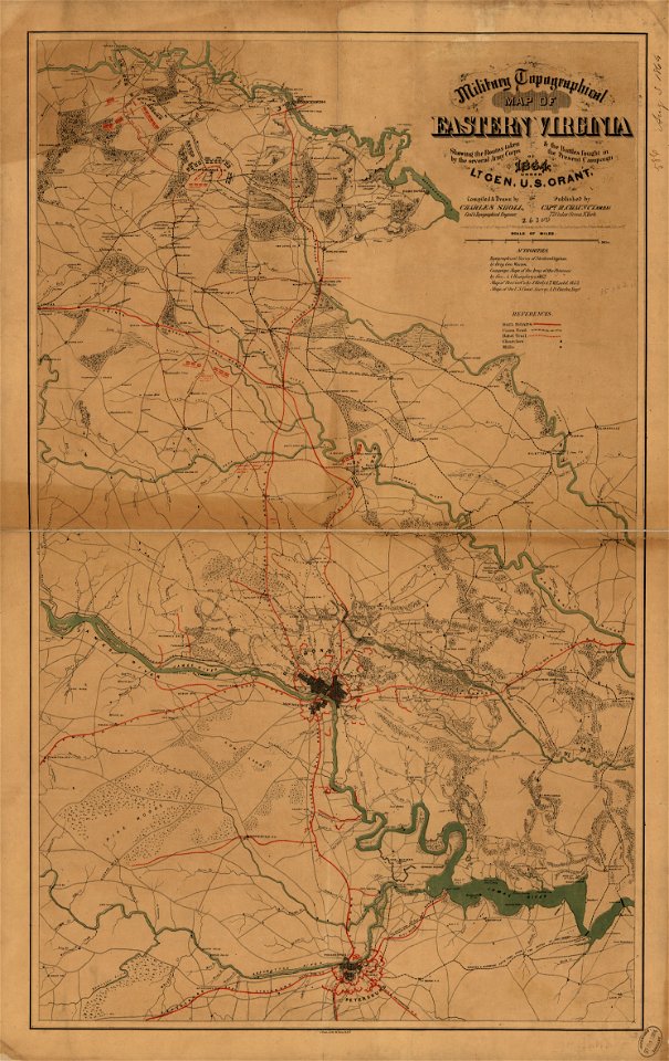
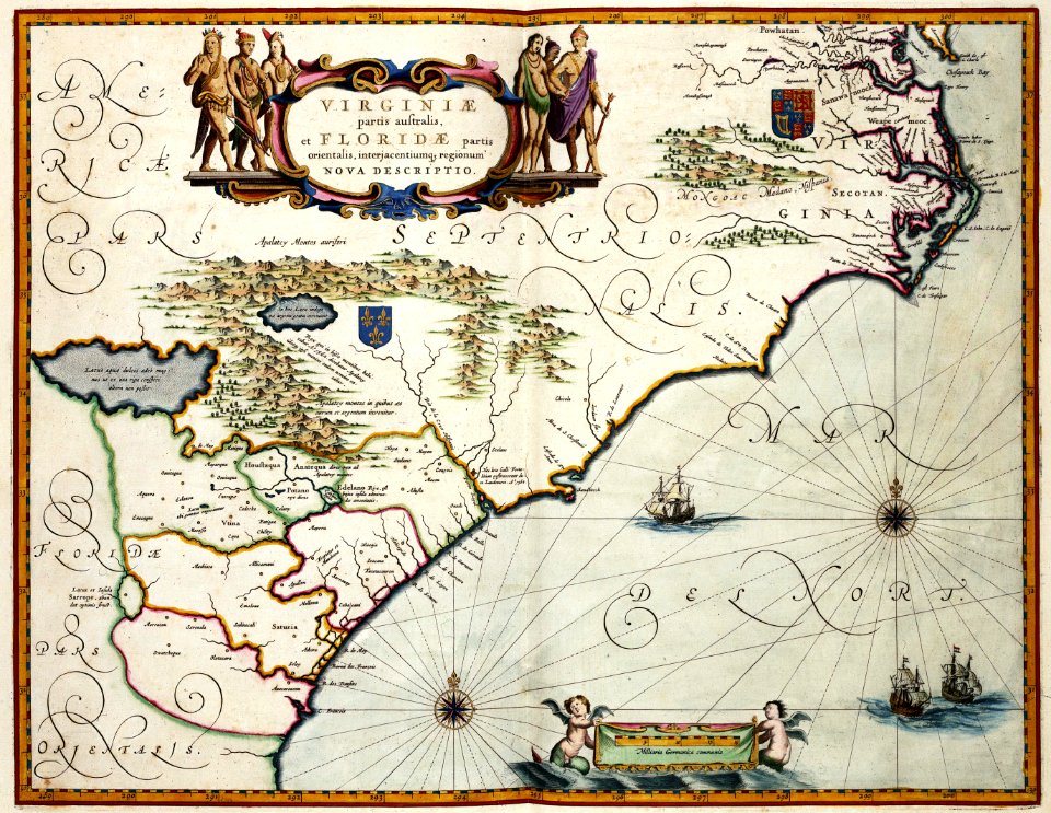
1864 maps of virginia
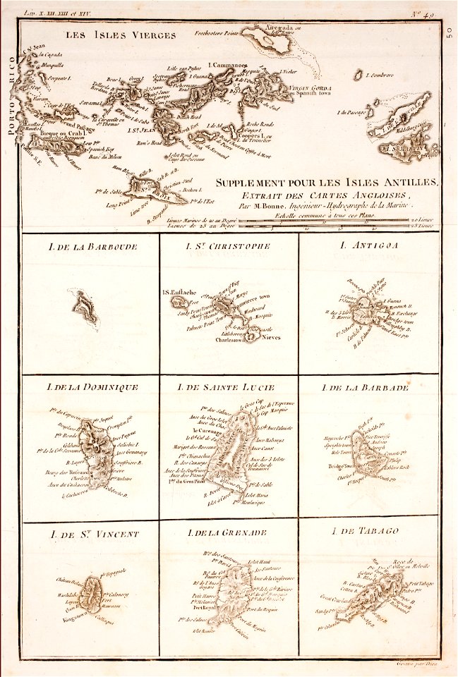
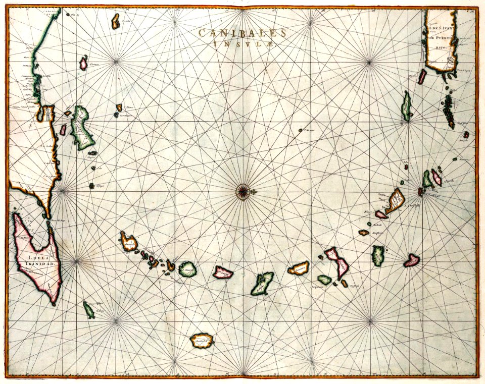
1780 in the caribbean
virgin islands
the generall historie of virginia (john smith)
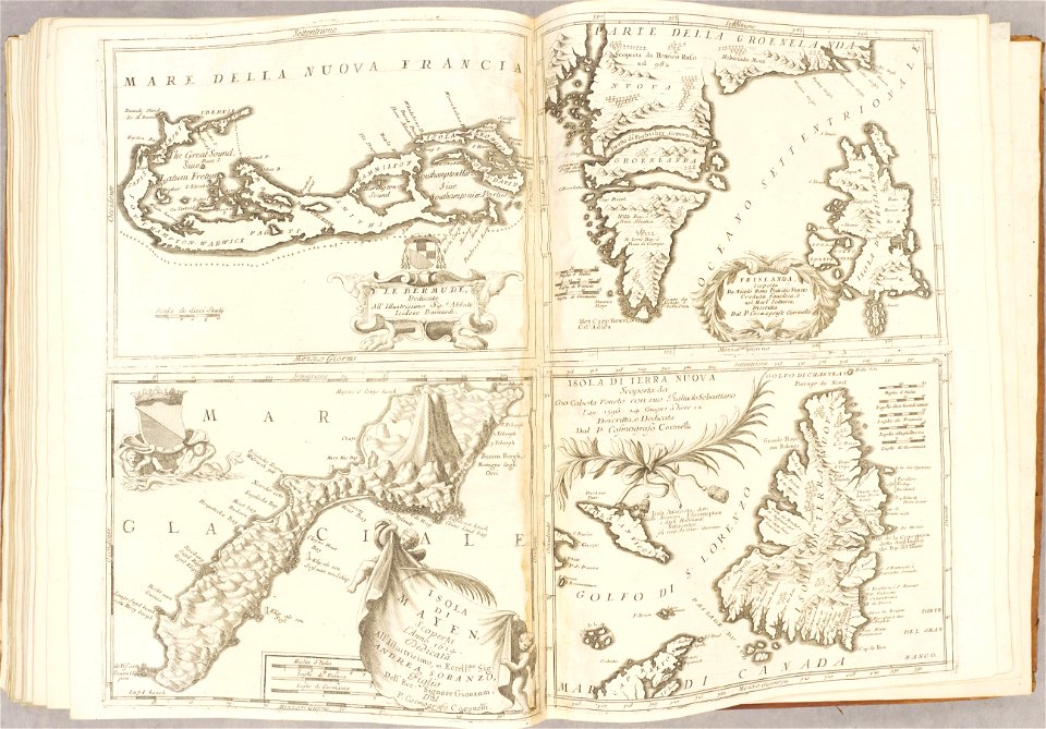
17th-century maps of bermuda
pictorial maps
puerto rico
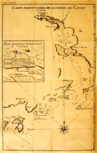
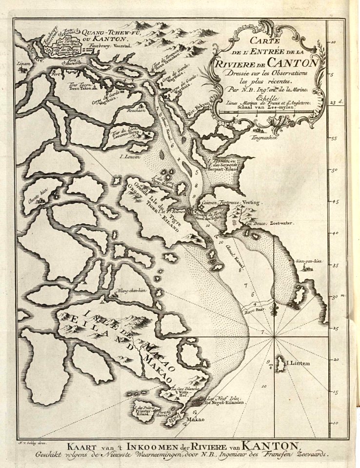
old maps of guangzhou
lantau island
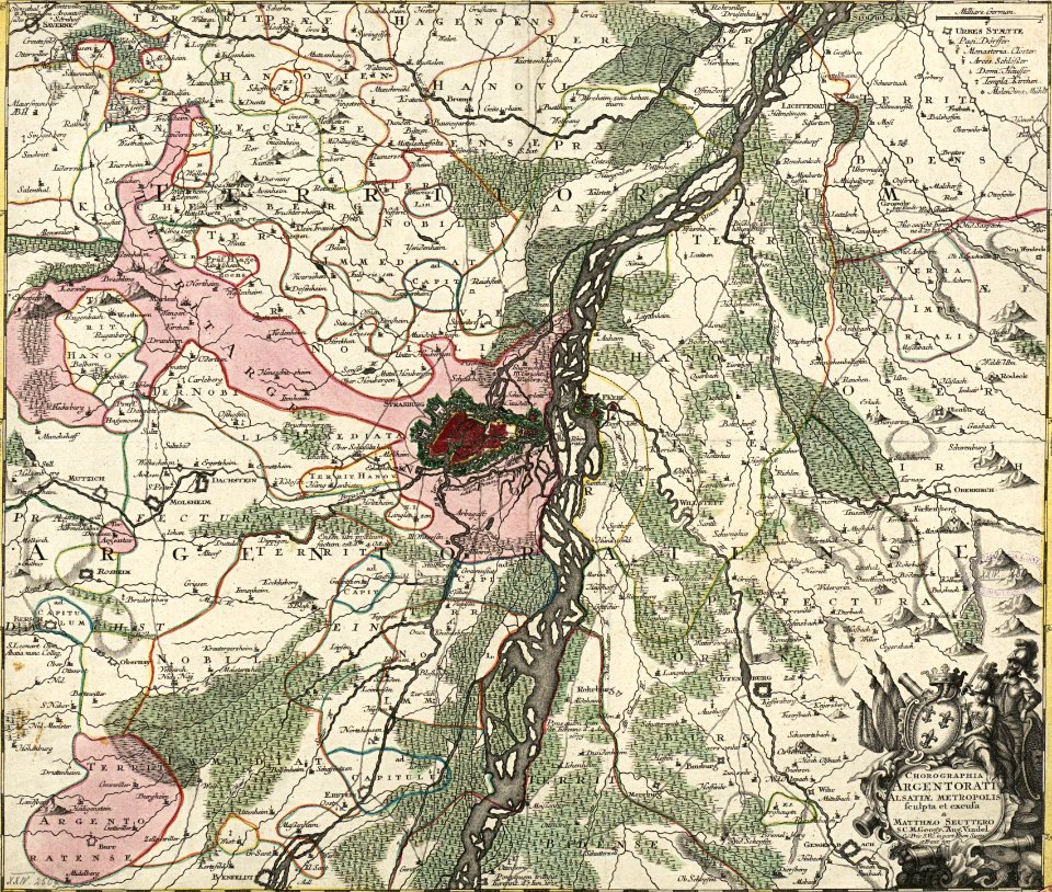
collections de la bibliothèque nationale et universitaire de strasbourg
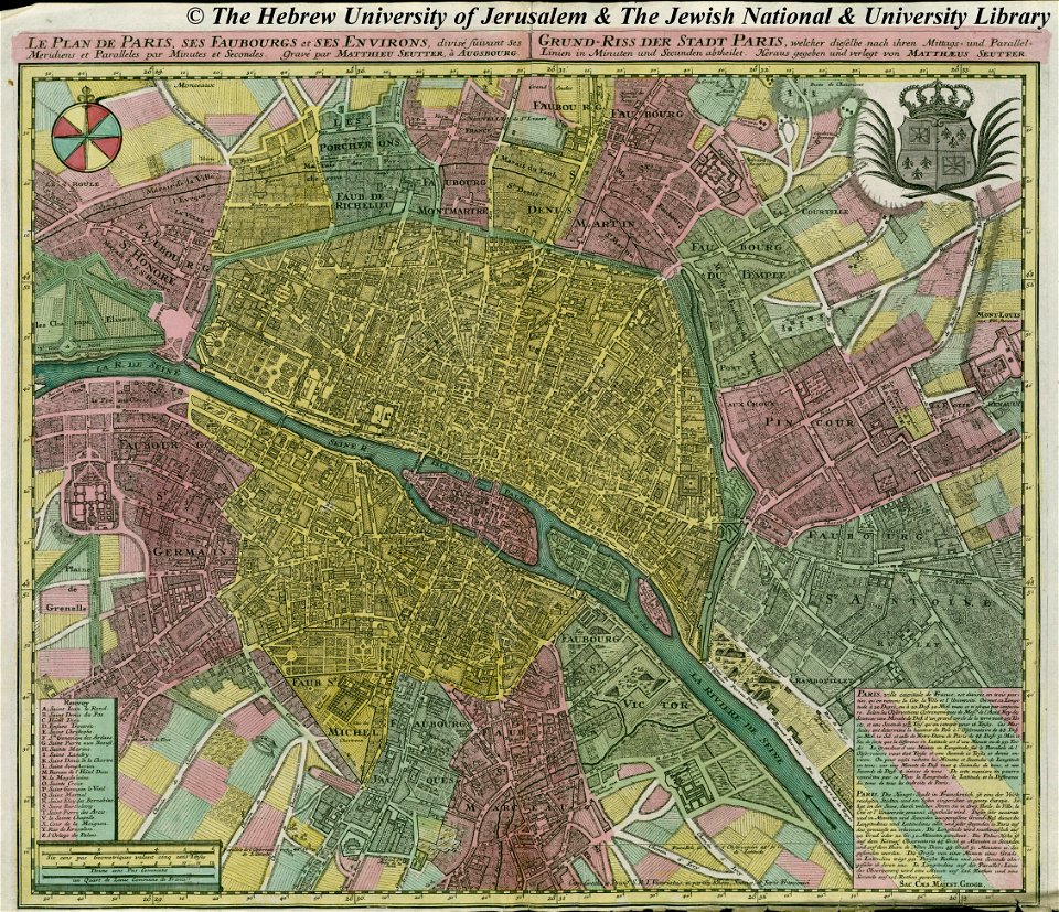
maps by matthäus seutter
maps with cartouches
atlas van der hagen
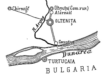
quarantine facilities in romania
1895 in romania
old weather and climate maps
1872 maps
18th-century maps of indonesia
maps of new guinea
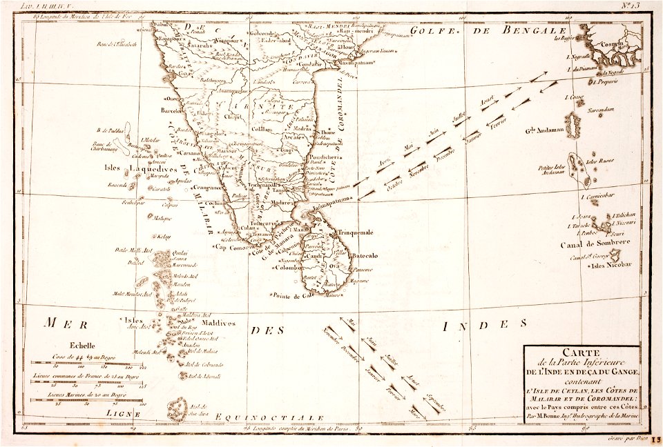
maps of the andaman islands
18th-century maps of india
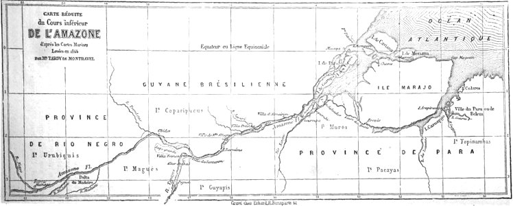
19th-century maps of brazil
map of brazil
cornell: persuasive cartography: the pj mode collection
cornell university library
historic views of rüdesheim am rhein
1828
historical images of the gravensteen (ghent)
atlas van loon
veracruz
florida
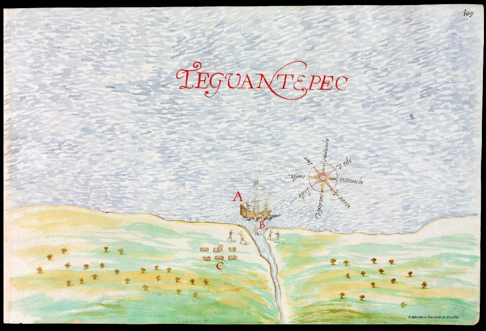
old maps of mexico
pictorial maps
nayarit
chacala
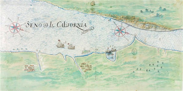
gulf of california
pictorial maps
old maps of mexico
pictorial maps
latin-language maps
carolus allard
old maps of guangzhou
zhongshan
old maps of guangzhou
zhongshan
old maps of north brabant
old maps of zeeland
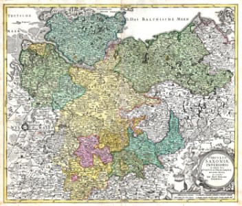
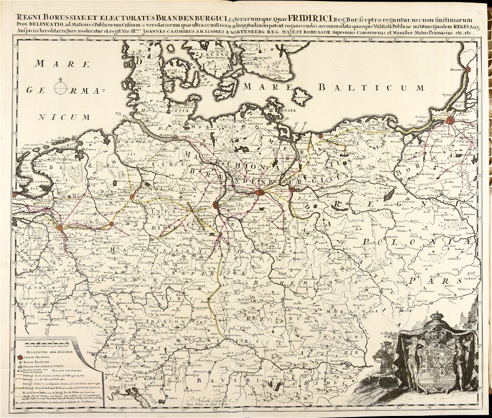
maps of territories in the lower saxony circle
johann baptist homann
maps by matthäus seutter
maps with cartouches
society for the diffusion of useful knowledge (great britain)
old maps of lebanon
pictorial history of the russian war 1854-5-6 by george dodd
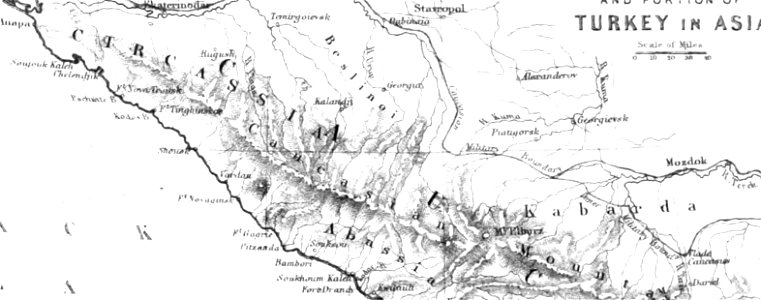
maps of circassia
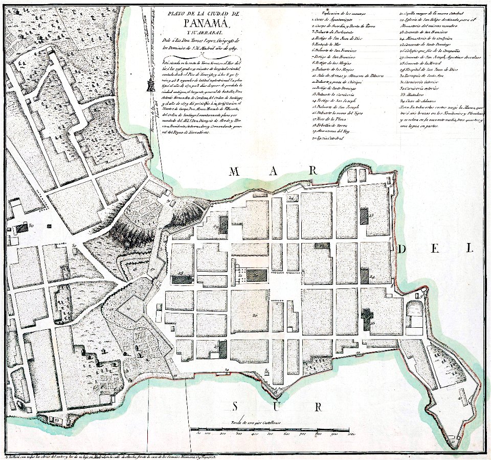
casco viejo
panama
maps made in the 17th century
maps by nicolaes visscher i
atlantis magni tomus quintus (biblioteca comunale di trento)
maps made in the 18th century
maps in the library of congress
new york
1590 maps
unidentified maps
1841 maps
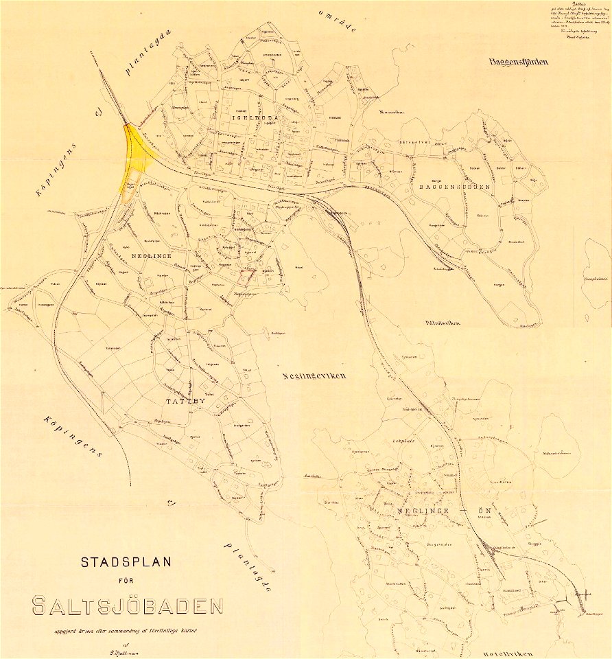
saltsjöbaden
maps
saltsjöbaden
maps
historical coats of arms of denmark
royal coats of arms of sweden
new york
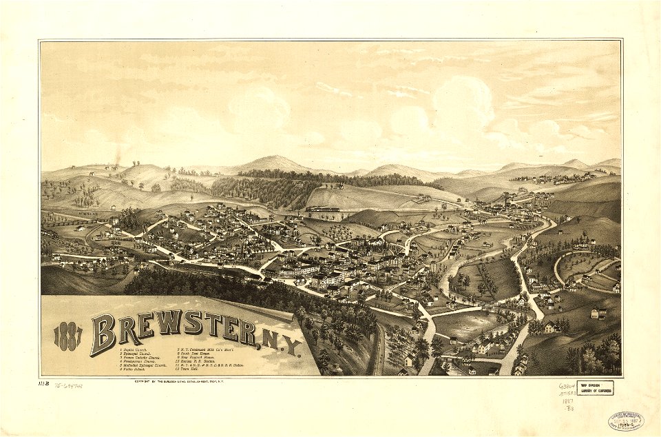
brewster
new york
brewster
fonds ancely - bibliothèque municipale de toulouse - maps
pierre gorse
18th-century maps of indonesia
1724
maps of the west-indische compagnie
1647
eastern province
sri lanka
18th-century maps of indonesia
1724
maps by willem and johannes blaeu
1662
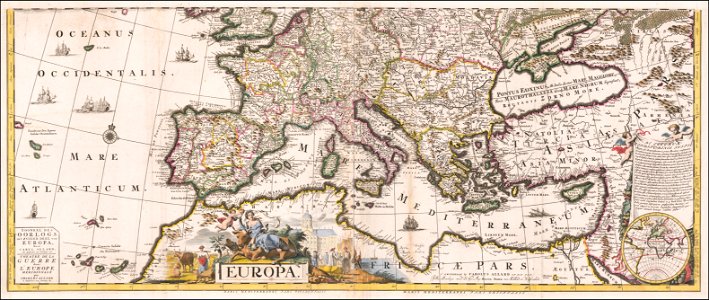
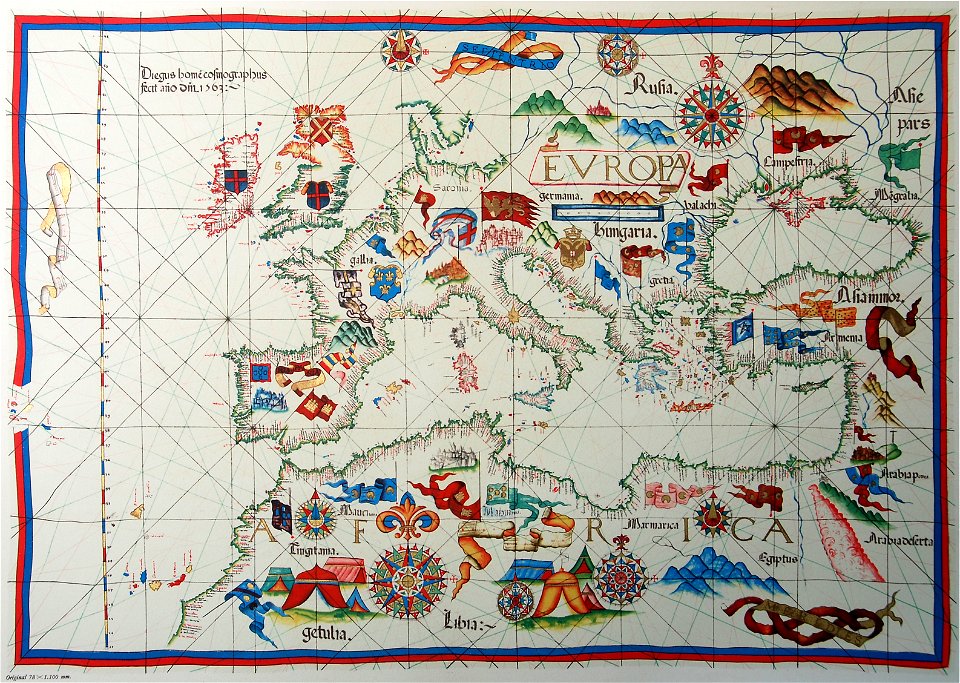
old maps of europe
diogo homem
drawings in the universitätsbibliothek salzburg
historical images of dieppe
artwork by charles heaphy
old maps of new zealand
pennsylvania
berwick
pennsylvania
berwick
maps made in the 17th century
old maps of gdańsk
atlante veneto (raremaps.com) volume 2
bermuda
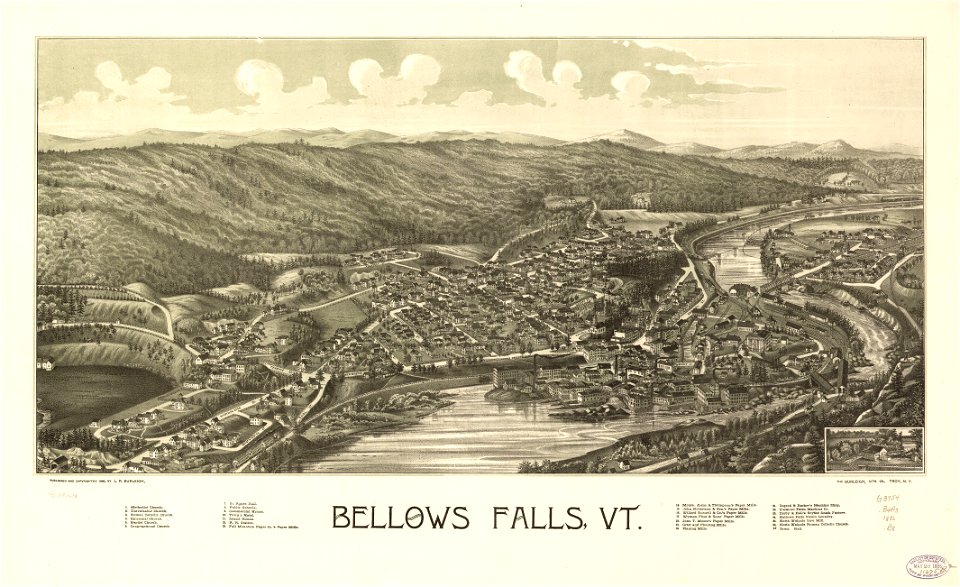
maps in the library of congress
vermont
maps in the library of congress
vermont
maps with cartouches
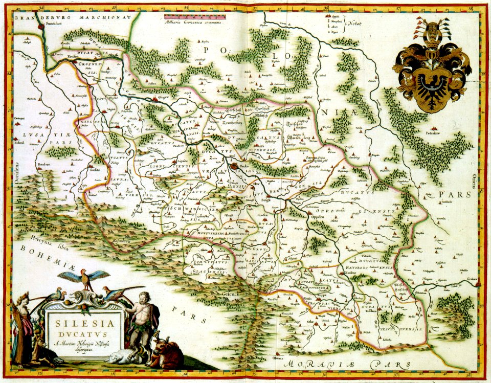
old maps of silesia
maps with cartouches
atlas van der hagen
maps with cartouches
maps of virginia
maps with cartouches
old maps of canada
joseph james forrester
port wine
pillars of hercules in heraldry
old maps of holland
old maps of north holland
johannes ratelband
the illustrated london news 1878
maps of the sea of marmara
maps with cartouches
1606 maps
latin-language maps
1628 maps
massachusetts
glendale,
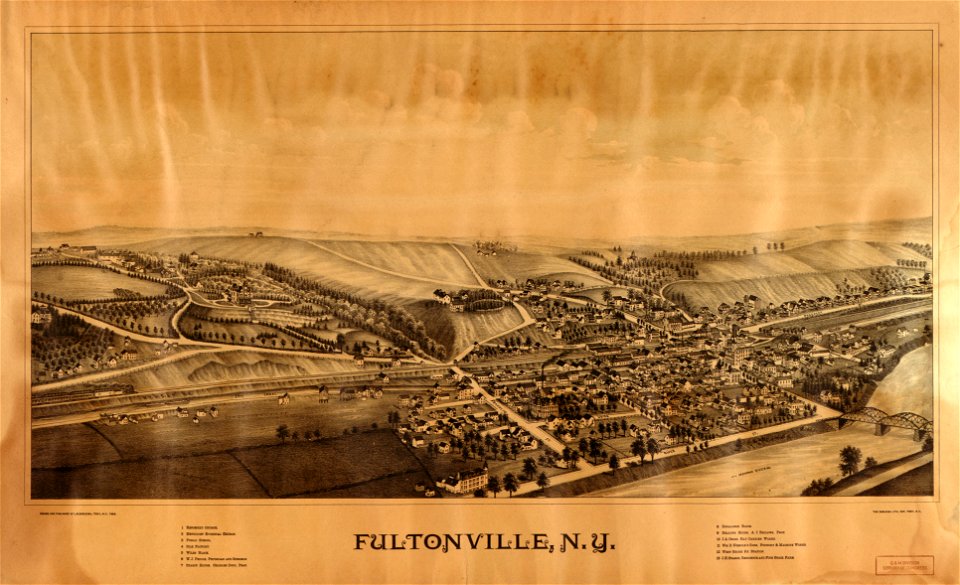
maps in the library of congress
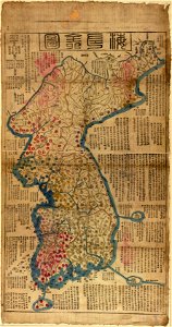
old maps of korea
maps in the library of congress
new york
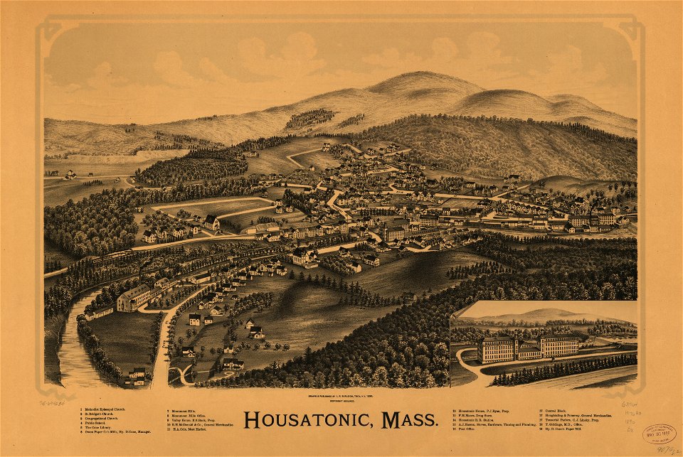
massachusetts
housatonic
bibliothèque municipale de reims
maps relating to celts
party per bend or and azure
coats of arms on maps
maps in the national library of wales
old county maps of cardiganshire
volume 7 of le tour du monde
1860s maps of palestine
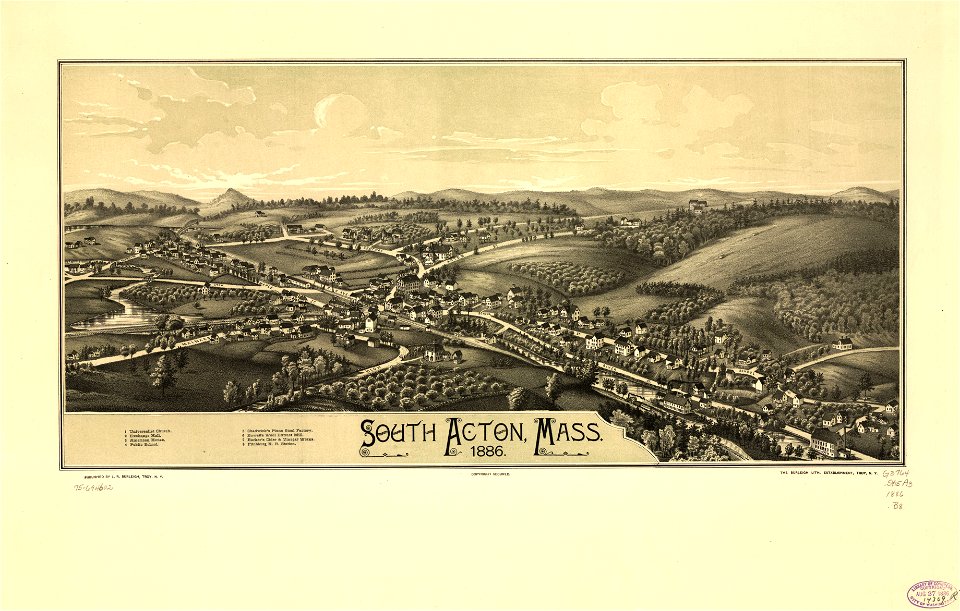
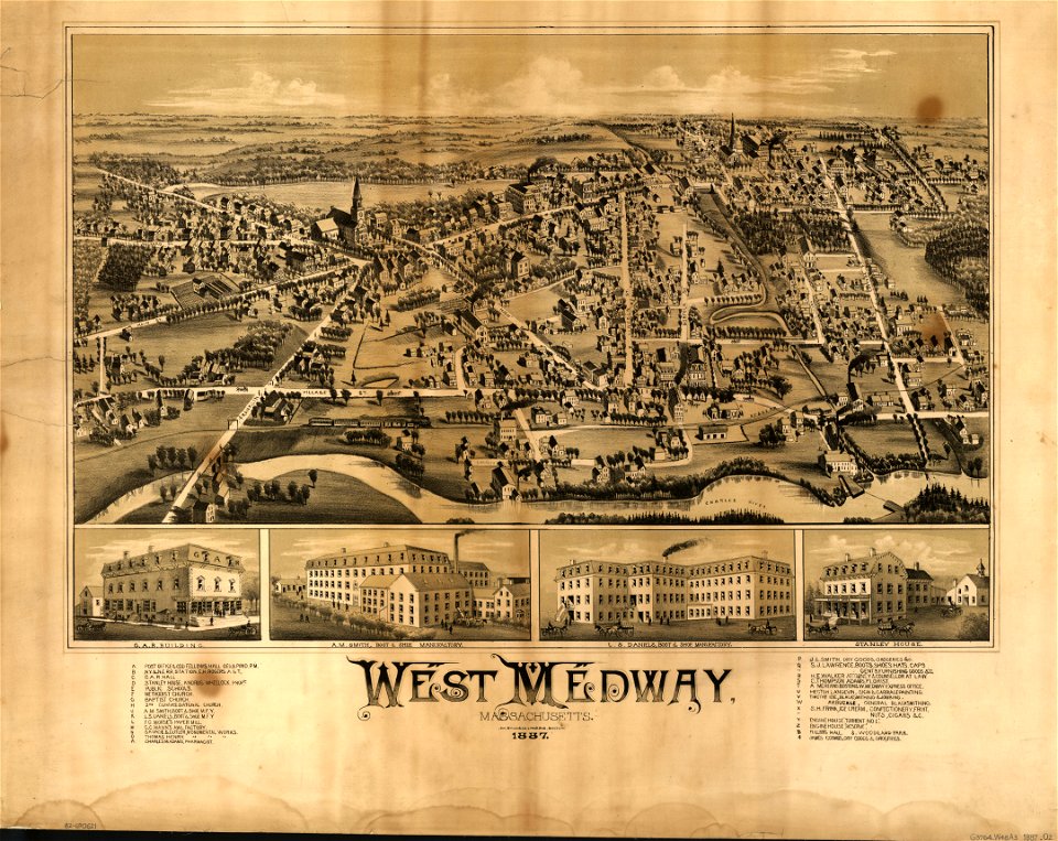
maps in the library of congress
massachusetts
maps in the library of congress
massachusetts
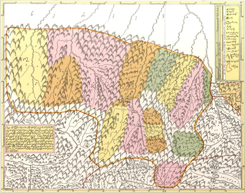
description of kingdom of georgia
its habits and canons
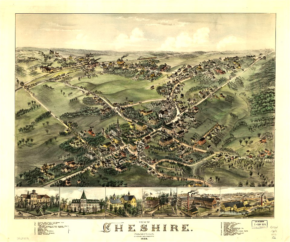
connecticut
cheshire
connecticut
cheshire
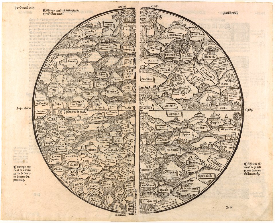
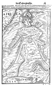
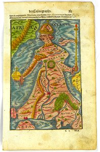
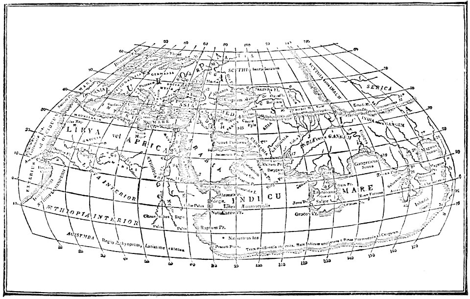
illustrations of cosmographia (münster)
latin-language maps
maps in the library of congress
massachusetts
maps by matthäus seutter
copyfraud
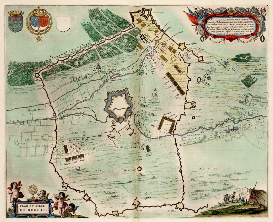
maps of hesdin city walls
circumvallation
maps by willem and johannes blaeu
old maps of rotterdam
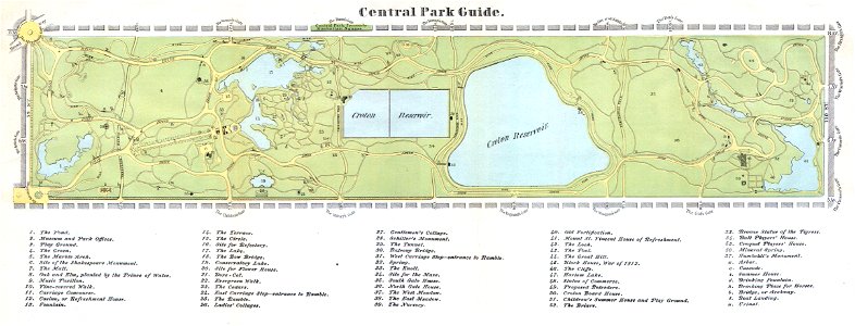
new york
rome
maps of the first opium war
old maps of nanjing
old maps of massachusetts
massachusetts
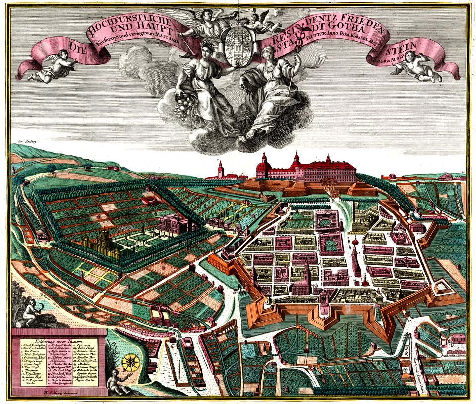
schloss friedenstein (gotha)
18th-century engravings
volume 6 of le tour du monde
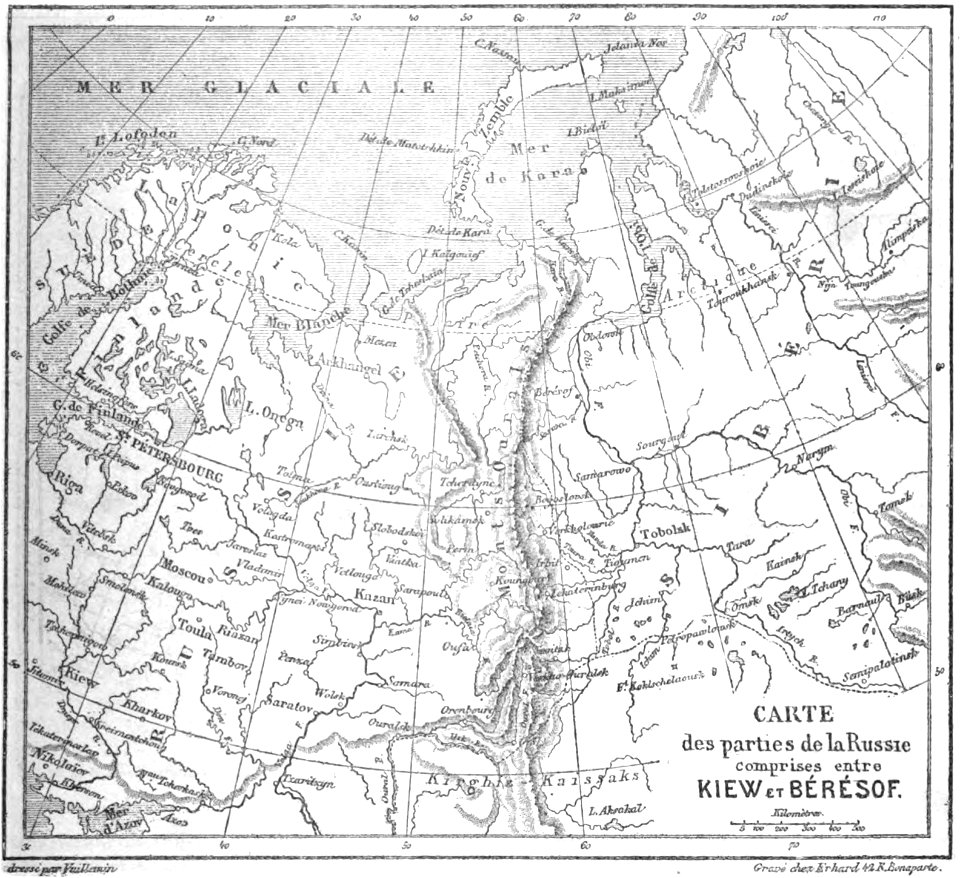
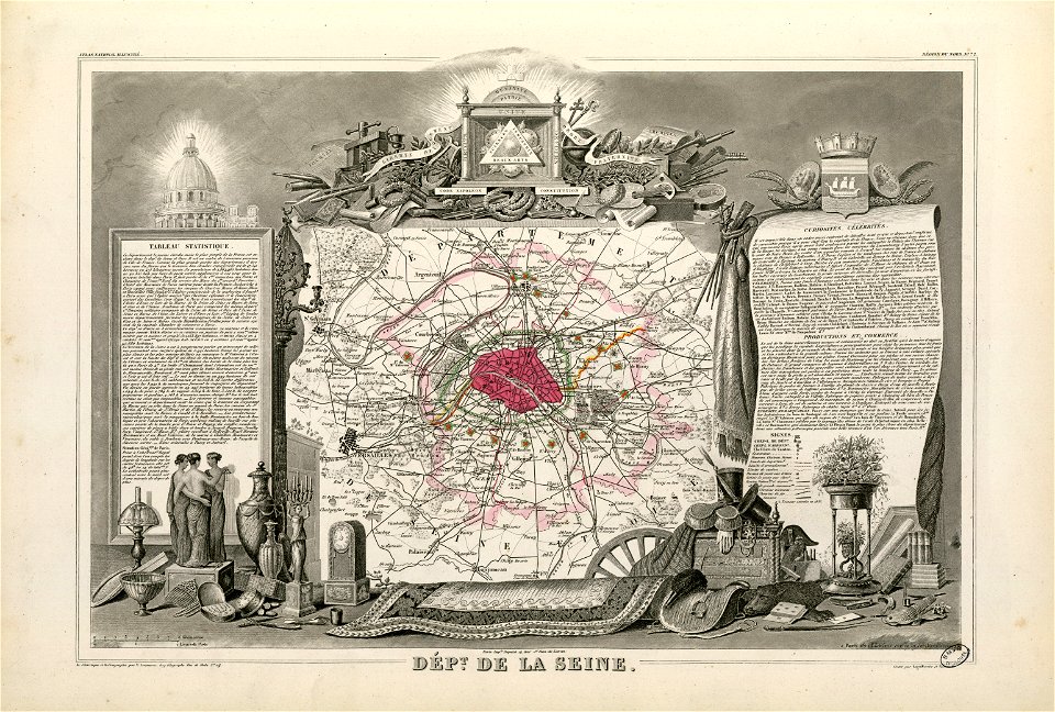
maps by alexandre vuillemin
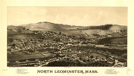
maps in the library of congress
massachusetts
1870s maps of the world
latin-language maps
old maps of massachusetts
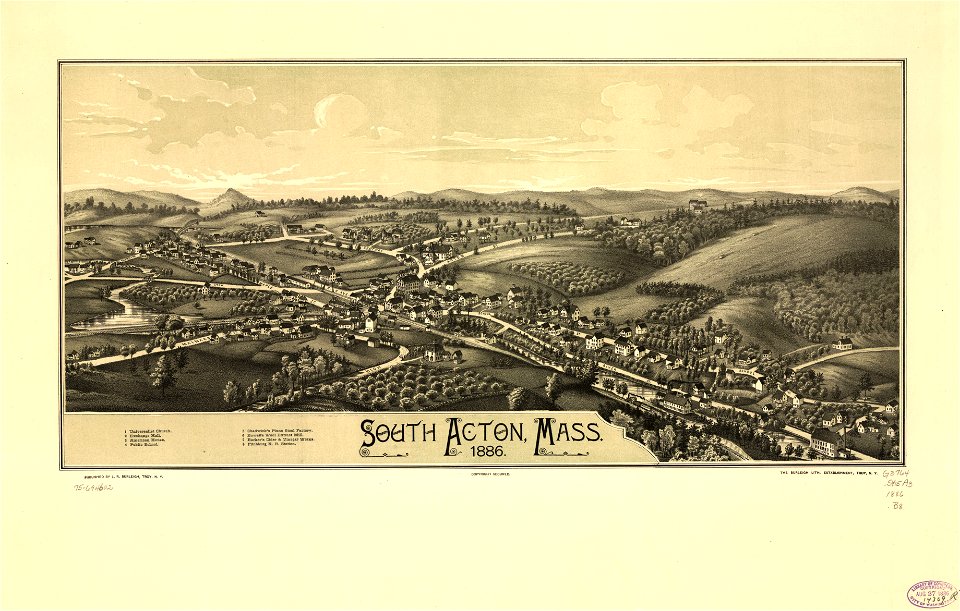
o. h. bailey
old maps of massachusetts
o. h. bailey
georg balthasar probst (1732-1801)
eran laor cartographic collection
nicolaes visscher ii
abraham goos
georg balthasar probst (1732-1801)
eran laor cartographic collection
georg balthasar probst (1732-1801)
eran laor cartographic collection
frédéric-auguste laguillermie
molière
old maps of manhattan
new york city
3101 - 3200 of 33,741
Next page
/ 338